
Conservation Areas
What is it?
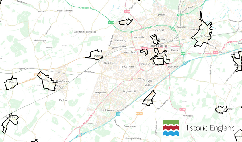
The Conservation Areas layer shows the extent of Conservation Areas in place.
Conservation area designation introduces a general control over the demolition of unlisted buildings and provides a basis for planning policies whose objective is to conserve all aspects of character or appearance, including landscape and public spaces, that define an area’s special interest.
Where does it come from?
Historic England
How often is it updated?
Approximately once a month.
What area does it cover?
England and Wales
How might you use it?
These datasets may be useful for:
- checking if properties are within a conservation area
- using it as a base for Neighbourhood Plan work
Data Licence
Contains Ordnance Survey data
Technical Blurb
This dataset has a very big flaw in that Historic England have been very good at compiling Conservation Areas from as many Local Authorities as possible, however, it doesn't include all of them. So you'll find that some areas have one big polygon area covering the entire Local Authority. This means they don't have data from that council. Think of it as a very passive aggressive way for Historic England to show that the Local Authority hasn't helped them!
Back to Category
MORE INFORMATION