
Services
Mapping Software
Ultra-high detail maps, drawing tools and analysis & planning tools for managing your council effectively
“Parish Online Mapping is a versatile tool for helping councils understand local issues, manage assets and create compelling plans. Datasets like Land Registry ownership boundaries save hours of investigative work.”
— Belina Boyer, Parish Clerk, Birstall Parish Council
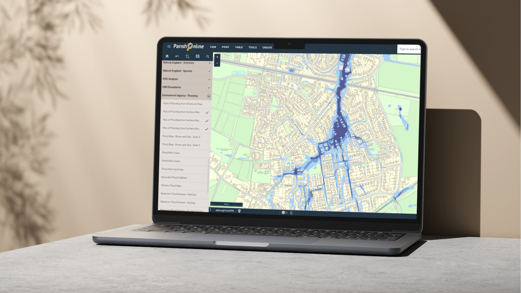
Discover a wealth of insightful map data
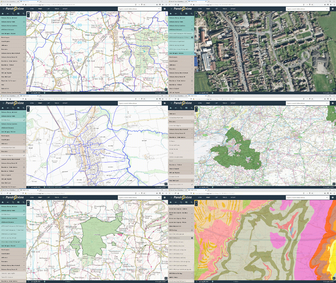
There are hundreds of useful digital maps out there. Parish Online Mapping brings them all into one place so you can view them alongside your own maps easily.
We keep all datasets up-to-date so you know you’re always getting the latest information.
View the latest and most up-to-date Ordnance Survey maps as well as ultra-high resolution aerial photography.
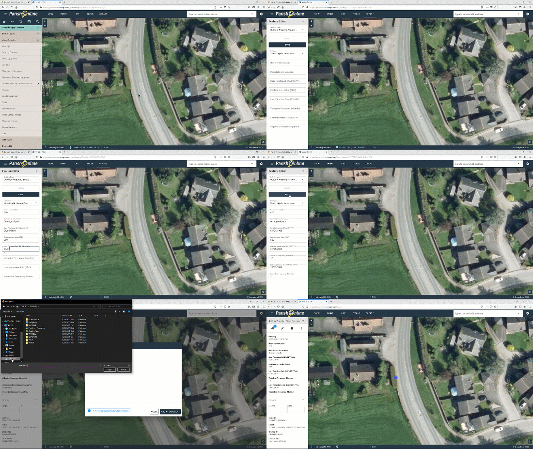
Get your Asset Management under control
Your asset register is better displayed on a map so you can see exactly where they are, and how well they’re distributed.
Add information, photos and manuals alongside each point on the map so you have all the information at your fingertips.
Export in a format ready for your insurer.
Draft professional Neighbourhood Plan maps
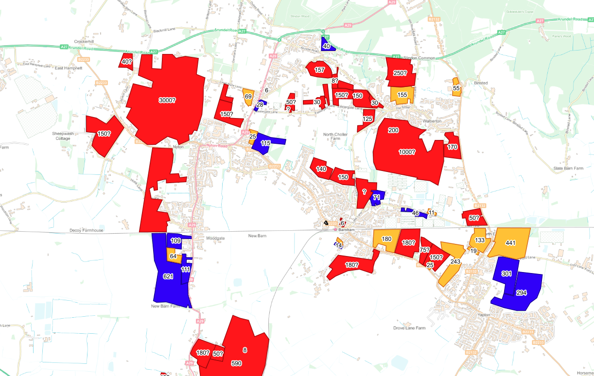
Whether it’s a full Neighbourhood Plan, a Neighbourhood Statement, Local Place Plan, or some pre-planning, maps help you understand your town or village in terms of environment, transport, housing, amenities, safety and much more.
Draft your Neighourhood Plan in Parish Online Mapping to create a well-considered design.
When it comes to public consultation, a picture paints a thousands words. Including maps brings your plan to life. This fosters productive and positive comment (in theory!).
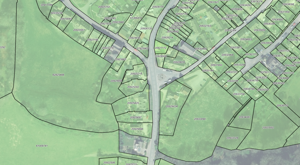
Understand ownership boundaries with ease
Parish Online Mapping is all about saving clerk hours.
So, when an enquiry comes in about an issue on some land, the maps can be used to work out which property the land is associated with. This saves precious time and resolves the issue for the resident quicker.
Map and analyse climate and Net Zero to give economic benefit to the community
Parish Online Mapping is great helping your council reach Net Zero.
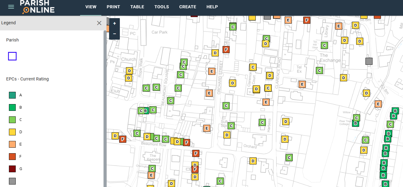
Plot out areas for biodiversity improvements, view EPCs, map out EV chargers, or schedule your grass cutting. Creating your own layers allows your team to visualise and communicate your plans better.
Many councils use our mapping software to create biodiversity and climate plans.
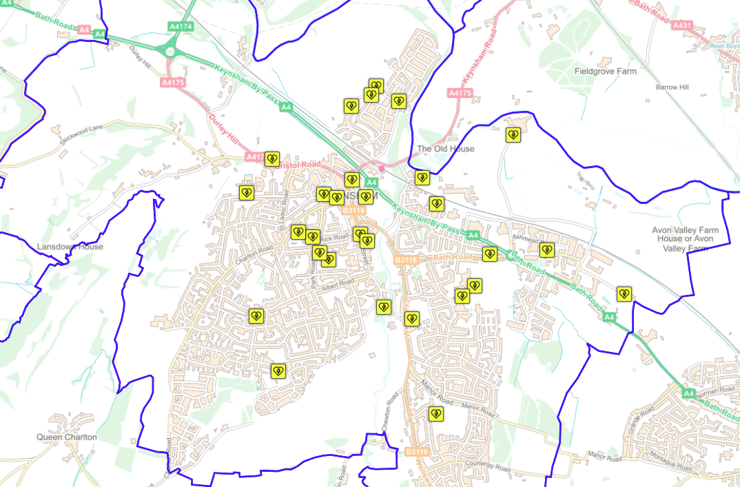
Plan your distribution of Defibrillators
Many councils are proactively adding critical life-saving defibrillators in their village, but are they well distributed to reach all residents?
Use Parish Online Mapping to plot your existing defibs, and decide where new ones should go, taking into account residential and commercial address points.
Note this is different to The Circuit. This is about planning, maintenance, distribution and informing residents rather than emergency response.
Publish maps to show residents your projects and responsibilities
Parish Online Mapping keeps the maps you create private, but you can publish them as PDFs or interactive maps easily.
With the Public Map tool, maps published to your website automatically update when you make changes.
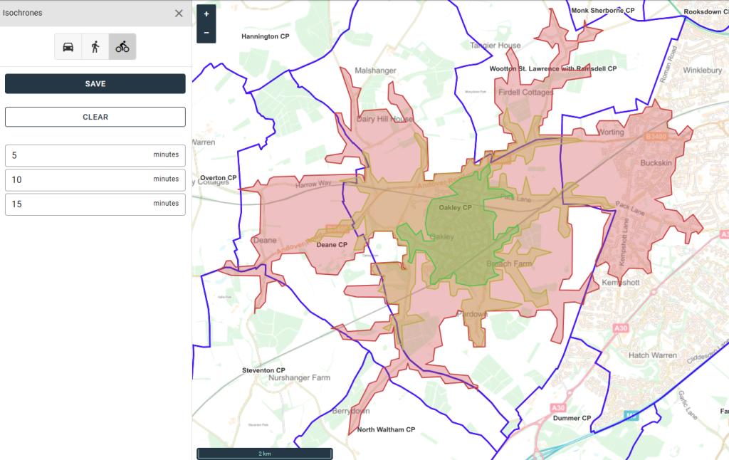
Travel time analysis for creating walkable neighbourhoods
Isochrones help you visualise the time it takes to get to and from places using different modes of transport.
These can help identify areas where infrastructure can be improved for walking and cycling.



Latest Mapping Service News
-
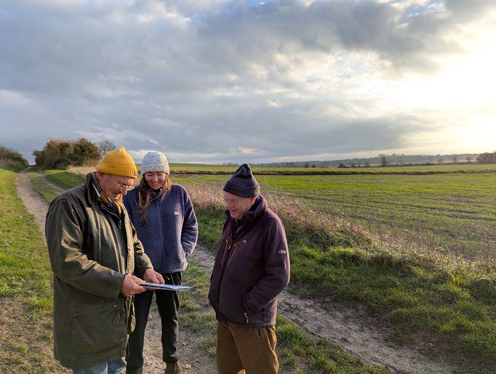
Parish Online supports Nature Recovery LNRS project in Cambridgeshire
The Parish Online team have been working closely with the Community Nature team at Cambridgeshire County Council to make mapping…
-
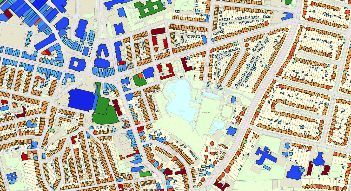
Getting the most from OS NGD Buildings
Our latest update brings Ordnance Survey’s National Geographic Database (NGD) Buildings data into the software. Not only are we feeding…