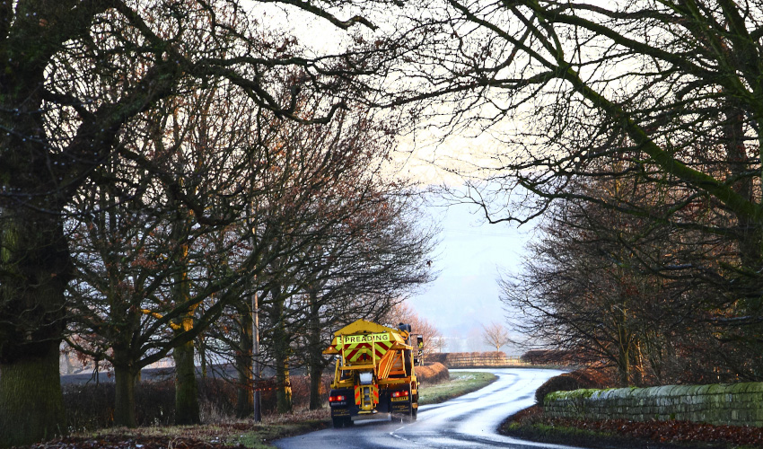
Holcombe Rogus Parish Council plan for winter
Summary
Holcombe Rogus Parish Council use Parish Online to plot their gritting routes in and around the village and the locations of all their grit bins.
Challenge
Keeping roads accessible and safe during periods of winter weather is just as important for rural parishes as it is for towns and cities. Holcombe Rogus wanted to map out their gritting routes and locations of grit bins to form part of their ‘Snow Plan’.
Solution
Holcombe Rogus signed up to Parish Online, watched some of the tutorials and then started producing some maps. They created a new layer called ‘Gritting Coverage’ and created lines on the map representing where gritting would occur in their area.
They then used the built-in Asset Register set of layers to add the locations of their Grit Bins. The use of APGB aerial photography helped locate the exact positions.
Maps were produced using the Print tool to include in their snow plan document, and the layers in Parish Online are now used to make adjustments or improvements to the plan.
Benefits
“By using Parish Online we were able to accurately produce professional-looking maps for our Snow Plan and parish website.
We chose Parish Online to help us with one specific task but are now starting to use it as a tool to help in other aspects of our council work.”
Leslie Findlay, Clerk to Holcombe Rogus Parish Council
All about Holcombe Rogus
The village of Holcombe Rogus is situated on the Devon/Somerset border with the town of Wellington to the East and Tiverton to the West. It consists of 3024 acres of rural farm land, which includes the Grand Western Canal nearby and the Blackdown Hills to the south.
Excluding title header, all pictures sent to us by Holcombe Rogus Parish Council.
Back to Category
MORE INFORMATION
