Kings Somborne plot their Neighbourhood Plan
Overview
Kings Somborne Parish Council in Hampshire use Parish Online to help map out their Neighbourhood Plan. They plotted out their LAGS (local areas of green space), their SHLAAs (strategic housing land availability assessment) and their potential sites for development.
Challenge
Kings Somborne were having problems explaining to councillors which areas were in or out of the plans. They found that people were getting confused with written descriptions, and that making adjustments was difficult in hard copy. They needed something to clearly show the plan extent and the detail of what they wanted to achieve.
Solution
Using Parish Online, Kings Somborne created polygon layers so that they can map out every site that was mentioned in the neighbourhood development plan. They also set styling so that they could colour code the conservation areas and settlement boundaries, which made it easier to tell them apart. Now they can now easily amend their maps online and keep everything up to date.
Benefits
Gail Foster, Clerk to King's Somborne Parish Council explains the benefits:
"Parish Online has saved a lot of time and continues to do so. Once the mapping was completed for the neighbourhood plan, the data could be easily shared and amended. As well as this, it has helped us to save money in that tasks do not have to be repeated because data can’t be found or replicated.
We’re also using Parish Online beyond our neighbourhood plan. We have also found that the quality of information that we store and share has improved massively. I can quickly show the land we own, lease and manage. All our assets are mapped, and resilience planning has been improved as everyone is aware of properties at risk of flooding. Maintenance can be planned on footpaths and it even helps with the community litter picking events as areas for each group can be planned. And once that is done for a year, it’s a click of a button to print the next year!
We are now using the software to map every tree on our owned or managed land which we assess twice a year. All TPO’s are logged. This helps with planning matters, risk assessments and complying with insurance requirements."
About King's Somborne Parish Council
King's Somborne Parish Council is the first tier of local government and comprises ten elected representatives of the community who serve for four years at a time and meet monthly in the Epworth Hall to debate and determine matters of interest to the Parish.
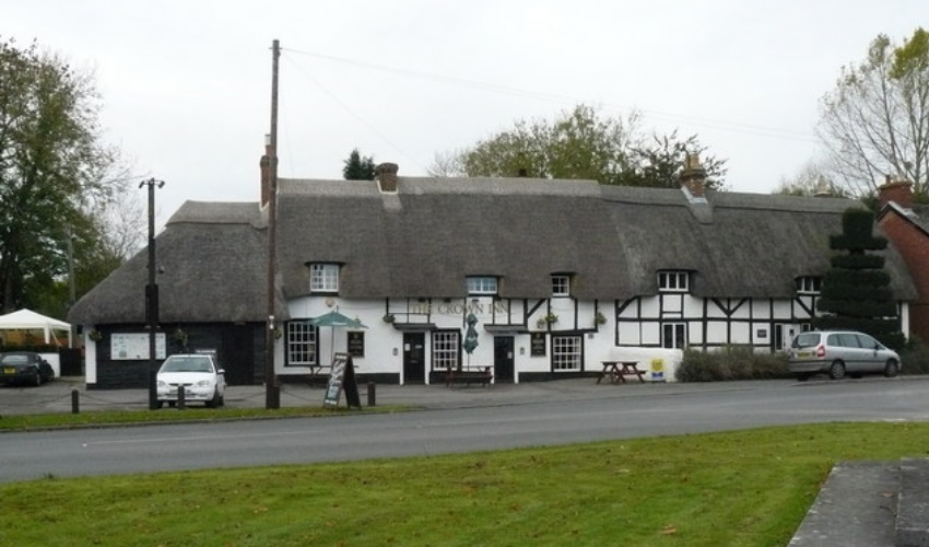
Title picture Kings Somborne - The Crown Inn CC BY-SA 2.0 Chris Talbot. All other pictures sent to us by Kings Somborne Parish Council.
Back to Category
MORE INFORMATION
