OS AddressBase
What is it?
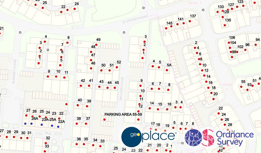
This is a map layer that has a point on top of every addressable property in Great Britain. The point includes unique references and a full postal address. The data is available to view as a map layer with points, and it's also available as a search in the top right of the Parish Online view.
Where does it come from?
Ordnance Survey (via GeoPlace)
How often is it updated?
The data is refreshed every 6 weeks.
What area does it cover?
Great Britain
How might you use it?
Addresses can be useful for:
- searching the official address of a property, include its postcode
- Using Data Extract to export a selection of addresses for use in a mail merge or flyer drop (for official parish business of course)
- Informing relevant properties of nearby issues (flooding, planning, events etc)
- Seeing the distribution of residential versus commercial properties in your area (red are residential, blue are commercial)
Data Licence
Available as part of the PSGA.
Technical Blurb
This layer is huge so it's only visible when you zoom in. If you see a warning triangle next to the layer name it means you have to zoom in a bit more.
The data is collated by GeoPlace who bring together data from over 500 organisations (mainly Local Authorities) to compile the national address list. There are over 2 million additions or changed every 6 weeks, so the team at GeoPlace have a big job!
If, when using the data, you notice an issue with one of the addresses, the best course of action is to contact your Local Authority Street Naming and Numbering professional who will be able to take your feedback and make any necessary changes. This data will filter its way into Parish Online.
Back to Category
MORE INFORMATION
