
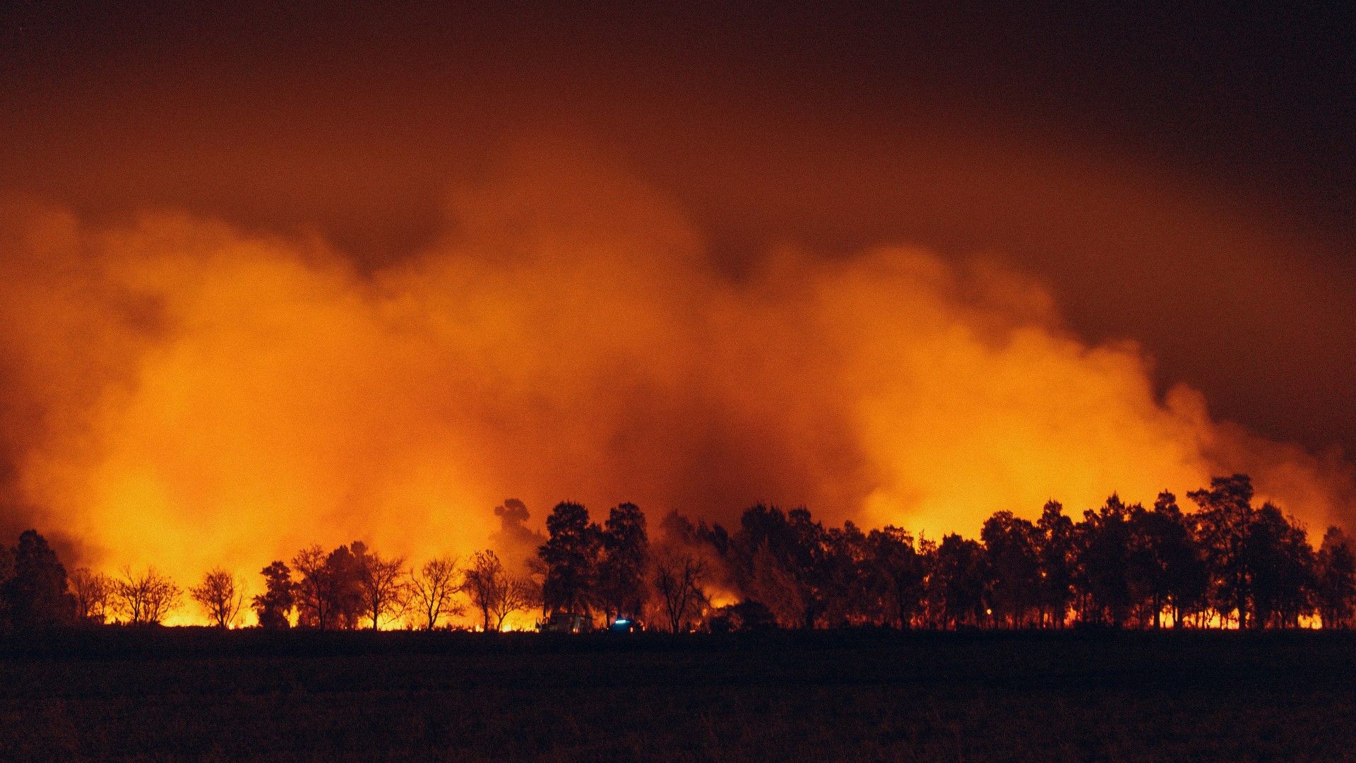
Wildfires are currently causing serious damage across parts of Europe. In France and Spain, hundreds of thousands of people have been evacuated this summer, and there have been multiple fatalities. Our thoughts are with everyone affected.
While the UK does not see wildfires on this scale, prolonged dry spells and heatwaves have led to a marked increase in grass and moorland fires in recent years, and local councils are increasingly being asked to play a role in community response and recovery. With that in mind, we want to make sure our customers know that NASA’s near real-time fire detection data is already built into Parish Online and XMAP.
What the data is
The data comes from NASA’s Fire Information for Resource Management System (FIRMS), which draws on the MODIS and VIIRS satellite instruments. FIRMS detects thermal anomalies, typically fires, and makes the locations available within a few hours of the satellite pass. It is used worldwide by fire and land managers, and by the European Forest Fire Information System (EFFIS) as one of its own data sources.
It is worth being clear about what this data can and cannot do. Detections are based on satellite pixels of roughly 375 metres to 1 kilometre, so a single hotspot can represent a small, intense fire or a much larger area of burning. NASA’s own guidance states that FIRMS should not be relied on for the preservation of life or property, and it is not a substitute for information from fire and rescue services or civil protection authorities. We present it in Parish Online and XMAP as a situational awareness layer, useful for context and planning, and it should always be used alongside official emergency service guidance rather than in place of it.
Where it’s useful for local government
With that context in mind, there are some practical ways this layer can support the work councils do around emergency planning and community response:
Situational awareness during an incident. Overlaying FIRMS hotspots on your council’s own boundary and asset data gives an immediate, visual sense of where an active fire sits relative to the community, without needing to piece that together from news reports or social media.
Supporting cordon and evacuation planning. By drawing a buffer around a hotspot or a fire perimeter shared by the fire service, you can quickly identify which of your area’s roads, buildings, and public spaces fall within an area of concern. This is for planning and communication purposes; the actual cordon and evacuation decisions remain with the fire and rescue service and police.
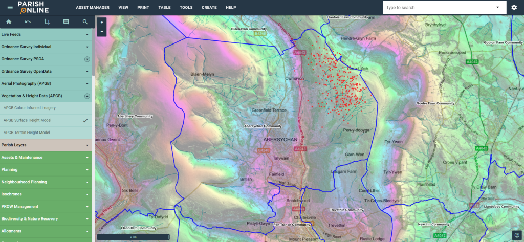
Map showing red markers where fire has been detected.
Identifying potentially affected properties. Where you hold an address or property layer, you can cross-reference it against a fire buffer to produce a list of properties that may need contact, whether that’s a welfare check, an evacuation notice, or a follow-up letter once an incident has passed. That list can be exported for use by council staff or partner agencies.
Cross-referencing with other risk layers. Councils already using layers such as building risk data, care homes, schools, or sites with vulnerable residents can combine these with fire detections to prioritise where checks are most urgently needed.
Monitoring trends over time. Outside of live incidents, the historical fire data helps parish and town councils understand seasonal risk in their area, which can feed into emergency planning documents and community resilience discussions.
You can see other examples in our Knowledge Base, such as the location of flare stacks in the North Sea.
Temporal data such as this has always been useful in the geospatial world. We’re looking into more near-live data that we can bring into our software to give you more insight, so stay tuned!
Getting started
The FIRMS layer is available now within Parish Online and XMAP. There’s also guidance in our Knowledge Base.
Local Councils can try Parish Online free for 90 days. Higher tier authorities can book an XMAP demo and trial.